
Mt. Ishizuchi — The Sacred Power of the Highest Peak in Western Japan
At 1,982 meters, Mt. Ishizuchi is the highest peak in western Japan (west of the Kinki region) and one of Shikoku most important sacred mountains, revered since ancient times as one of the Seven Sacred Peaks of Japan and as a place where En no Gyoja, the founder of Shugendo, is said to have trained. Pilgrims and climbers still come from across the country, and a spiritual energy fills the whole mountain. This page introduces Mt. Ishizuchi as a power spot representing Ehime, from a different angle than a page devoted to Ishizuchi Shrine itself.
Highlights
The highest point is Tengu-dake at 1,982 meters, and just below it Misen (1,974 meters) holds the summit shrine of Ishizuchi, where you can worship in a solemn atmosphere. Along the trail, the Tameshi-no-kusari, Ichi-no-kusari, Ni-no-kusari, and San-no-kusari are the true ascetic paths of Shugendo, climbed straight up by gripping chains hung on the rock faces, offering a sense of achievement only to those who try. The rocky ridge running from Misen to Tengu-dake is spectacular, and the 360-degree panorama from the summit is a view worthy of the highest peak in western Japan. On clear days you can see as far as the Seto Inland Sea and the ranges of the Shikoku mountains.

Enjoying the Seasons
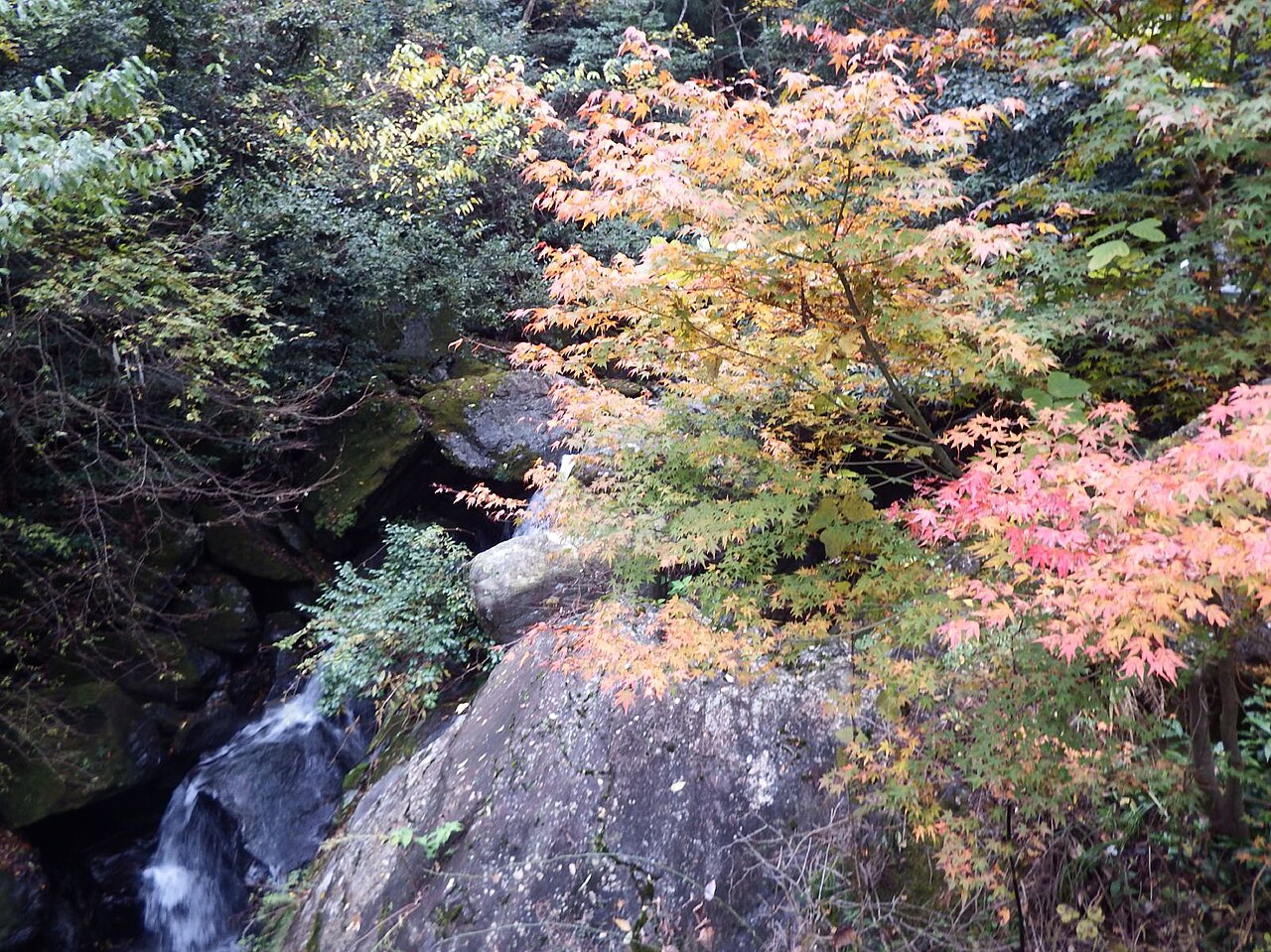
The Mountain Opening Grand Festival in summer (July 1 to 10) is the greatest rite of Mt. Ishizuchi, when believers in white robes make the pilgrim ascent in a spectacular sight. Autumn (October to November) dresses the whole mountain in foliage, the finest time as the climbing season closes. Winter (December to March) requires full winter gear and experience because of the snow, but the snow-clad sacred peak has a special majesty. In spring the season gets underway in earnest with the ropeway and fresh green.

Access and Basic Information
- Joju Shrine route: From JR Iyo-Saijo Station, take a bus to the Ishizuchi Climbing Ropeway. Ride the ropeway to about 1,300 meters, pass Joju Shrine, and head for the summit. From the upper Joju station to the summit is a walking trail.
- Tsuchigoya route: Drive to Tsuchigoya via the Ishizuchi Skyline, then walk the trail. This is a comparatively gentle and easy course.
- Either route takes roughly two to three hours one way to the summit, and calls for adequate gear, fitness, and time to spare.
- Ropeway operating hours change with the season, so check the schedule in advance.
Practical Travel Notes
- The chain sections (Ni-no-kusari and San-no-kusari) each have a bypass trail. Use the bypass if you lack confidence, when it is crowded, or when the rock is wet with rain.
- The summit can be more than 10 degrees colder than the city. Always carry warm clothing and rain gear even in summer.
- Water sources and shops are limited, so bring plenty of drinks and trail food and replenish often.
- The weather changes quickly on this mountain. Check the forecast and ropeway operation before climbing, and avoid an overambitious schedule.
- It is vital to set out counting back from your descent time. Act with time to spare so you make the last ropeway.
A Quick Tip
Never take the chain sections lightly. San-no-kusari in particular is a near-vertical climb up the rock, demanding both a head for heights and real stamina. If you lack confidence, use the bypass trail. In return for the steep path, the summit view and the air of the sacred peak leave an unforgettable impression. Put safety first and plan with room to spare. (TabiTabi Japan Editorial Team)
- Contact: Kumakogen Public Works Office 0892-21-1210 (Ishizuchi Skyline gate opening and closing)
📚 Sources
The information here is based mainly on the public guidance from Saijo city, Kumakogen town, Ishizuchi Shrine, and the Ishizuchi ropeway. The information for the Joju and Tsuchigoya routes, the chain sections (the test chain and the first to third chains) and bypass paths, the mountain-opening, and on-site information boards are also useful references. Because ropeway hours and trail and chain conditions vary by season, please confirm the latest details on each official source before you visit.
Visitor Checklist
- Estimated time needed: About 2 to 3 hours one way to the summit on either route. Working back from the last ropeway departure, allow a full day including the round trip and rest.
- What to bring: The summit can be more than 10 degrees colder than the city, so warm clothing and rain gear are essential even in summer. Water points and shops are limited, so bring plenty of drinks and trail food. Use the bypass paths if the chains feel daunting.
- Suggested route: From Iyo-Saijo Station, take the ropeway onto the Joju route to Misen, then aim for Tengudake according to your stamina. Choosing the gentle, walkable Tsuchigoya route is another option.
Practical Information for Your Visit
- Mt. Ishizuchi Ropeway fares: Round trip 2,200 yen for adults (junior high school students and older) and 1,100 yen for children (elementary school students); one way 1,200 yen for adults and 600 yen for children. A discount for visitors with disabilities gives 1,100 yen round trip and 600 yen one way (on presentation of a disability certificate)
- Ropeway operating hours: Uphill and downhill cars run at the same times, departing at 00, 20 and 40 minutes past every hour (every 10 minutes in busy periods). From January 2 to April 28 and from November 4 through December it runs 8:40-17:00; in July and August it runs 8:00-18:00 on weekdays and 7:40-18:00 on weekends, public holidays and during the Obon period; in September it runs 8:40-17:00 on weekdays and 7:40-18:00 on weekends and public holidays; from October to November 3 it runs 8:00-17:00 on weekdays and 7:40-18:00 on weekends and public holidays. During the Oyama-biraki Grand Festival (July 1-10) it operates from early morning
- Sightseeing chairlift: 600 yen round trip and 350 yen one way. Operating hours are 9:00-16:30 (8:00-16:30 during the Oyama-biraki Grand Festival), and it normally runs from late April to late November. Payment is by cash only
- Time needed for the climb: To the summit (Mount Misen), the Joju-sha route takes two and a half to three hours one way, and the Tsuchigoya route takes two to two and a half hours one way
- Chojo-sha (the inner shrine): It stands on the summit of Mount Misen, and priests are stationed there from May 1 to November 3
- Joju-sha (the middle shrine): It can be visited all year round, and the ropeway also operates year-round
- Winter closure on the Tsuchigoya side: The Tsuchigoya Yohaiden is open from April 1 to the end of November. The Ishizuchi Skyline is closed to traffic from December until the end of March
- Chain sections: For those who cannot climb the chains, a bypass along the ordinary mountain trail is provided
- Pets: Pets may ride the ropeway if kept in a crate or carrier bag, but taking pets hiking is prohibited (they are allowed as far as Joju-sha)
* No entry fee or worship fee for Mount Ishizuchi is publicly announced. The ropeway suspends service during periods such as regular inspections, so please check the operating status before you set out.
(Sources: Mt. Ishizuchi Ropeway official website, Ropeway & Chairlift Fares and Operating Hours; Ishizuchi Shrine official website, Guide to Climbing and About the Four Shrines of Ishizuchi Shrine)
📍 Location & Access






Share this article




✍️ About this article
This article is compiled by the Tabitabi JAPAN editorial team from official and primary sources, including facility and shrine/temple websites, tourism information published by municipalities and tourism associations, and cultural-property records released by national and local governments. Prices, opening hours and event dates may change, so please also check the official information of each facility or local government before you visit.