
Mt. Hakusan — The Sacred Mountain Power Spot Spanning Three Provinces
Mt. Hakusan, rising to 2,702 meters on the borders of Ishikawa, Fukui, Gifu, and Toyama prefectures, is one of Japan's three sacred mountains, alongside Mt. Fuji and Mt. Tateyama, and has been an object of mountain worship for centuries. Vast, forested, and crowned with multiple crater lakes, Hakusan serves as the sacred body-mountain of Shirayama Hime Shrine, radiates spiritual power across a wide region, and remains one of Japan's most rewarding climbing destinations. The surrounding wilderness is protected as Hakusan National Park.
Highlights
The summit area encompasses several crater lakes including the emerald Midagaike, reached on the Oike-meguri pond circuit that Shinto tradition holds sacred. The main summit, Gozengamine at 2,702 meters, is crowned with the Hakusan Okumiya inner shrine, whose austere simplicity within such an alpine setting concentrates spiritual atmosphere powerfully. On clear days, the panorama extends to Mt. Fuji, the Japan Alps, and the Sea of Japan.
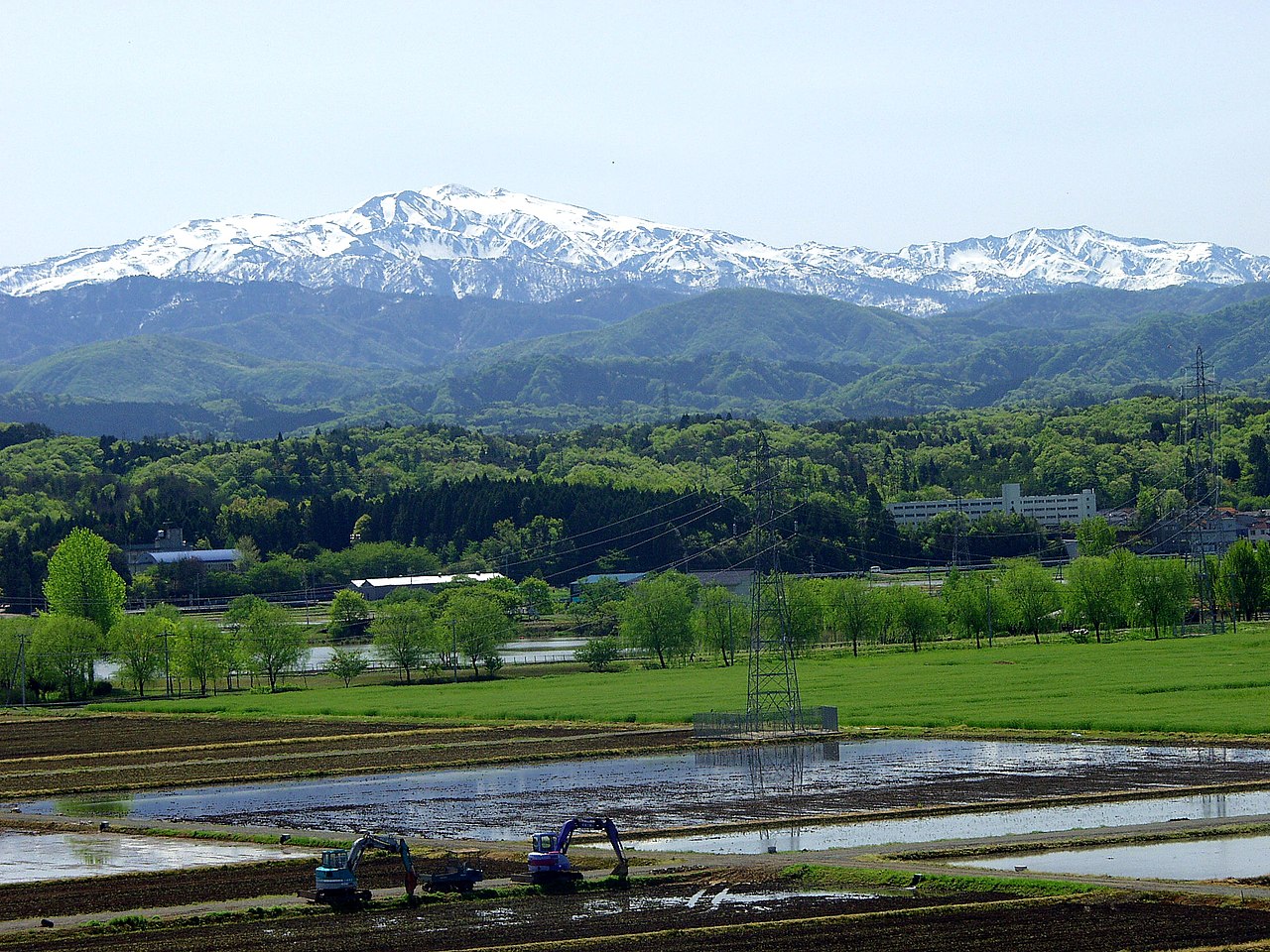
Hakusan supports one of Japan's most diverse subalpine ecosystems. Its trails pass through ancient beech forests, wetland meadows brilliant with alpine wildflowers such as the native Hakusan primrose in July and August, and fields of dwarf bamboo that turn gold in October. The mountain's name, meaning White Mountain, derives from the snowfields that linger near the summit well into summer.
The Murodo visitor hub, at around 2,450 meters, is the base for most climbers and the branch point for the flower meadows and the Nanryugabanba area. Hakusan National Park protects extensive wilderness where Japanese serow, golden eagles, and black bears still roam freely.
Getting There & Tips
The Betto-dejima trailhead is the standard start, reachable by seasonal bus from Kanazawa via Shiramine. In peak season, private cars are restricted and a shuttle runs from Ichinose to Betto-dejima. The usual climb is a two-day trip using the mountain hut at Murodo, which requires advance reservation. A climbing plan submission is mandatory.
Practical Travel Notes
- The open season, trail conditions, and shuttle operating days change from year to year. Always confirm the latest information from the Hakusan tourism association or local authorities before departing
- Staying a night at Murodo lets you enjoy sunrise and the pond circuit at an easy pace. Lodging is by full reservation only, so arrange early for summer weekends
- On a peak above 2,000 meters, mornings and evenings are cold even in midsummer. Warm layers, rain gear, ample water, and trail food are essential
- The route passes through bear habitat, so carry a bell, radio, or other noise-maker, and moving in a group rather than alone is reassuring
Best Time to Visit
July and August for wildflowers and clear summit views. Late September to early October for blazing autumn foliage on the lower slopes.
📚 Sources
This article is based on climbing information published by the bodies managing Shirayama Hime Shrine and Hakusan Murodo, the Ministry of the Environment overseeing Hakusan National Park, the Hakusan Tourism Association, and local governments such as Hakusan City. The open season, trail and shuttle-bus operating status, and Murodo reservation methods change from year to year. Fees, hours, and access may change, so before setting out, be sure to check the latest information from the Hakusan Tourism Association and local authorities. Do not forget to file a climbing plan.
Visitor Checklist
- Time needed: The round trip from Bettodeai to the summit takes about 8 to 10 hours. For a comfortable pace, an overnight stay at Murodo is recommended.
- What to bring: This is high country above 2,000 meters. Warm layers, rain gear, ample water, and trail food are essential. Carry a bell, radio, or other noise-maker as well.
- Suggested route: Start at Bettodeai and head to the Murodo Visitor Center. Next morning, greet the sunrise at Gozengamine, then extend to the pond circuit taking in Midorigaike and other crater lakes.
- Reservations: Lodging at Hakusan Murodo is reservation only and a climbing plan is required. Arrange early for summer weekends.
📍 Location & Access


Share this article


✍️ About this article
This article is compiled by the Tabitabi JAPAN editorial team from official and primary sources, including facility and shrine/temple websites, tourism information published by municipalities and tourism associations, and cultural-property records released by national and local governments. Prices, opening hours and event dates may change, so please also check the official information of each facility or local government before you visit.