
Shimanto River: Japan's Longest Natural River Called the Last Clear Stream
Flowing through western Kochi Prefecture, the Shimanto River is Shikoku longest river at about 196 kilometers. Because not a single large dam stands on its main stream, it is praised as "the last clear stream in Japan," its rich and beautiful nature left intact. Counted among Japan three great clear streams along with the Kakita and Nagara rivers, its clean water and the lives of people who live alongside it form a scene that feels nostalgic and calming.
Highlights
The Sinking Bridge, Symbol of the Clear Stream
The scene that symbolizes the Shimanto River is the chinkabashi, or "sinking bridge." These low bridges are built without railings on the premise that they will submerge when the river rises, embodying the wisdom of past generations in preventing driftwood from catching and destroying the bridge. More than twenty span the main stream alone, and over forty including tributaries. Among them, the Sada sinking bridge, the longest in the prefecture, and the Iwama sinking bridge, set against clear water and mountains, are especially popular. Walking across, you feel the clean water and grand nature up close.
River Play, Roofed Boats, and Canoeing
The appeal of the Shimanto River is the variety of activities that bring you close to the clear water. Aboard a leisurely yakatabune roofed boat, you can gaze at the nature and sinking bridges from the water and enjoy a relaxed river journey. For something more active, canoeing or kayaking down the clear stream is recommended, letting you feel the Shimanto nature at your own pace. In summer, you can also enjoy river play and encounter the culture of catching wild eel and river shrimp.
The Taste of the River Bounty
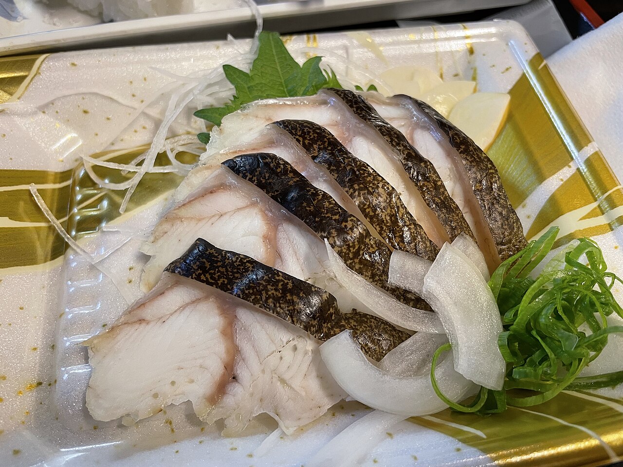
The Shimanto River offers river delicacies unique to a clear stream. Wild sweetfish (ayu), fragrant river nori (aonori), plump river shrimp, and rich wild eel are specialties of this river. Riverside eateries and roadside stations serve dishes made from these bounties.
Seasonal Enjoyment
The Shimanto River is beautiful year-round, but for river play and canoeing, early summer through summer is best, when water levels are stable and the greenery shines. Autumn foliage adds charm as the mountains turn color. Early summer through summer, when the sweetfish season opens, is a fine time to taste wild ayu. In winter the water grows even clearer, revealing quiet sinking-bridge scenery.
Access and Essentials
The stations of the JR Yodo Line serve as bases, and travel by car is convenient. The classic route is to start at Nakamura Station (Shimanto City) and tour the sinking bridges by rental car. Yakatabune boats and canoeing are offered by various operators around Shimanto City and Shimanto Town, with roofed boats around a few thousand yen and half-day canoe experiences in the low thousands (reservations are often required, so check ahead). Viewing the sinking bridges themselves is free.
Practical Travel Notes
- Best season: Early summer to summer for river play and canoeing; winter for quiet
- Avoiding crowds: Famous spots like the Sada sinking bridge get busy at midday on holidays; mornings are better
- Time needed: Half a day for sinking bridges and a boat, a full day for a wider tour
- Nearby spots: The town of Nakamura (Shimanto City); the lower reaches near the mouth
- Budget feel: Boats and canoeing run to the low thousands of yen; with a rental car, around ten thousand yen for a day
- Driving caution: Sinking bridges are narrow and railless, so drive across carefully
A Word of Advice
Because the Shimanto River covers a wide area, it is efficient to rent a car at Nakamura Station (Shimanto City) and tour the sinking bridges from downstream to upstream. When crossing a sinking bridge by car, slow down, as it is narrow and has no railing. Reserve boats and canoeing in advance. On the last clear stream in Japan, enjoy a soothing river journey that washes the heart clean.
📚 Sources
For the Shimanto River sinking bridges and yakatabune boat and canoe experiences, the guidance published by the Shimanto City and Shimanto Town tourism associations, along with the official pages of each operator, is the reliable reference. For touring transport based at Nakamura Station (Shimanto City), the Tosa Kuroshio Railway timetable also helps. Experiences may be canceled when the water rises, and fees and access may change, so please check official information before you set out.
Visitor Checklist
- Time needed: Half a day for sinking bridges and a roofed boat, or a full day to tour the basin widely.
- What to prepare: Some riverbank stretches get strong sun, so bring a hat and drinks. For canoeing, clothes you do not mind getting wet are reassuring. Boats and canoeing run to the low thousands of yen.
- Suggested route: Rent a car at Nakamura Station and tour the Sada and Iwama sinking bridges while combining a yakatabune boat or canoeing.
- Reserve and confirm: Boats and canoeing are often reservation-based and may be canceled when the water rises, so confirm in advance.
- Driving caution: Sinking bridges are narrow and railless, so cross slowly by car.
📍 Location & Access




Share this article


✍️ About this article
This article is compiled by the Tabitabi JAPAN editorial team from official and primary sources, including facility and shrine/temple websites, tourism information published by municipalities and tourism associations, and cultural-property records released by national and local governments. Prices, opening hours and event dates may change, so please also check the official information of each facility or local government before you visit.