
Mt. Kuju Hiking: Highland Paradise with Hot Springs
The Kuju Mountain Range (Kujurenzan), home to Mt. Naka (Nakadake) at elevation 1,791m, the highest peak of mainland Kyushu, is a grand mountain resort. Also called the roof of Kyushu, its charm is the nature woven by gentle highlands and scattered famous hot springs. It offers a variety of climbing courses from beginner-friendly to full-fledged, and after hiking you can heal your fatigue at a fine spring—truly a paradise of mountains and hot springs.
What Is the Kuju Mountain Range
The Kuju Mountain Range is a volcanic group stretching across western Oita Prefecture, gathering mountains of the 1,700m class including Mt. Naka (1,791m), the highest peak of mainland Kyushu, and the main peak Mt. Kuju (Kujusan, 1,786m). It is a grand mountainous region also called the roof of Kyushu, where varied nature spreads, such as colonies of Miyama Kirishima azaleas, active volcanoes emitting smoke, and scattered marshlands. It is one of Kyushu's representative peaks, counted among Japan's 100 Famous Mountains.

A Variety of Climbing Courses
The Kuju Mountain Range has a variety of climbing courses you can choose according to your stamina and level, from beginner-friendly routes across gentle highlands to full-fledged courses traversing multiple mountains. Makinoto Pass (Makinototoge), which serves as a base for climbing, sits at high elevation and is a popular trailhead for relatively easy ridge walking. The grand panorama overlooking the mountains and the scenery of Bogatsuru marshland, spreading between the Mt. Kuju and Mt. Taisen ranges, fascinate hikers. Bogatsuru is a precious marshland registered under the Ramsar Convention.

Miyama Kirishima and Autumn Foliage
One of the highlights of the Kuju Mountain Range is the Miyama Kirishima azaleas that dye the mountain slopes pink in early summer. They typically reach their best from late May to mid-June, and the colonies blooming in profusion across the entire mountain are of overwhelming beauty, drawing many climbers. In autumn the foliage colors the mountains in brocade, equally superb. Being able to enjoy spectacular natural scenery that differs through the four seasons is a charm unique to the Kuju Mountain Range. Mountain walking in the clear air is refreshing itself.
Access & Basic Information
Makinoto Pass, the main trailhead, can be reached by car or bus from the Oita and Beppu directions. The standard course from Makinoto Pass around Mt. Kuju and Mt. Naka is generally reckoned at roughly six hours round trip; beginners can walk it, but there are rocky sections near the summits, so plan with time to spare. Because this is a mountainous area where the weather changes easily, rain gear, warm clothing, and ample water and snacks are essential. Do not forget to submit a climbing plan and check the latest weather and volcanic information.
Practical Travel Notes
- Best season and time: Early summer for the Miyama Kirishima (typically late May to mid-June) and autumn for the foliage are the best seasons for climbing. Start early and aim to descend before sunset for safety.
- Time needed: About six hours round trip for the standard course from Makinoto Pass around Mt. Kuju and Mt. Naka. Plan within your stamina and the weather.
- Avoiding crowds: On weekends during the azalea peak, the trailhead parking can fill from early morning. An early start is reassuring.
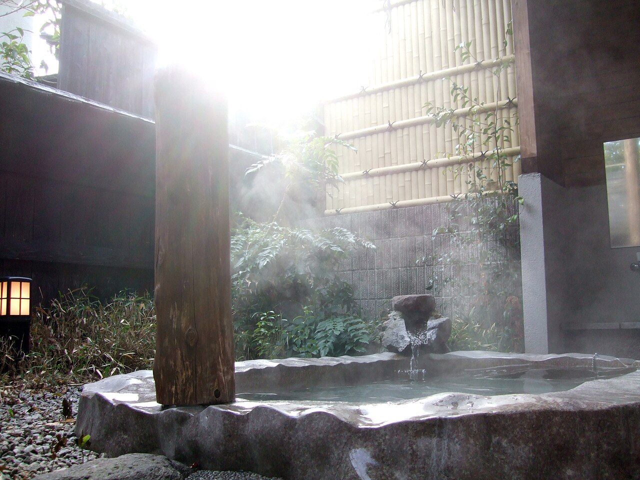
- Nearby real spots: At the foot are Hokkein Onsen and the fine springs called the Kokonoe Kyuto (Kokonoe Nine Springs), where you can heal post-hike fatigue. It is also well placed for trips toward Hita and Yufuin.
- What to bring and note: Mountain weather changes easily, and the high elevation can bring a chill even in summer. Prepare rain gear, warm clothing, water, and snacks, and wear hiking boots.
A Word of Advice
The Kuju Mountain Range offers a wide range of courses from beginner to advanced, but there are rocky sections near the summits and the weather changes easily, so it is safest to set out with gear and time to spare. During the azalea season the trailhead parking crowds from early morning, so an early start is recommended. After descending, washing off the sweat at a fine spring such as Hokkein Onsen makes for a luxurious Kuju day where you can fully enjoy both mountains and hot springs.
- Contact: Kamenoi Bus Yufuin Station Bus Center 0977-84-3145
📚 Sources
For information on hiking in the Kuju Mountains, the main references are the mountaineering guidance published by local governments and tourism associations such as Kokonoe Town and Taketa City, and the information on Aso-Kuju National Park provided by the Ministry of the Environment. The Makinoto Pass trailhead, the Tadewara Bogatsuru wetland (registered under the Ramsar Convention), and Hokke-in Onsen can be traced through such public guidance. Weather and volcanic information and trail conditions change daily, so be sure to confirm the latest weather and mountaineering information before you set out, and remember to submit a climbing plan.
Visitor Checklist
- Estimated time: The standard round trip from Makinoto Pass over Mt. Kuju and Mt. Nakadake takes about 6 hours; plan within your fitness and the weather.
- What to bring: Mountain weather changes quickly and the high elevation can be cold even in summer, so prepare rain gear, warm clothing, ample water, and trail food, and wear hiking boots; also submit a climbing plan.
- Suggested route: Set out from Makinoto Pass early, walk the ridge to Mt. Kuju and Mt. Nakadake, and after descending soothe your tiredness at a famous spring such as Hokke-in Onsen at the foot of the mountains.
- Crowd tips: On peak Miyama-kirishima weekends (late May to mid-June in most years), the trailhead parking can fill from early morning, so an early start is reassuring.
📍 Location & Access



Share this article




✍️ About this article
This article is compiled by the Tabitabi JAPAN editorial team from official and primary sources, including facility and shrine/temple websites, tourism information published by municipalities and tourism associations, and cultural-property records released by national and local governments. Prices, opening hours and event dates may change, so please also check the official information of each facility or local government before you visit.