
Koya-Ryujin Skyline: Kii Mountain Drive
The "Koya-Ryujin Skyline" (National Route 371), connecting Koyasan (Koya Town) and Ryujin Onsen (Tanabe City) in Wakayama Prefecture, is a scenic drive route crossing the Kii Mountains, running approximately 42.7 kilometers along ridgelines at around 1,000 meters elevation. It is a popular route where you can enjoy seasonal mountain beauty from the car window — seas of cloud, autumn foliage, star-filled skies — and because it links two famous places, the sacred ground of Koyasan and the beauty-enhancing hot spring of Ryujin Onsen, it is beloved by many as a classic sightseeing drive.
A Ridge Road Running Through the Sky
The Koya-Ryujin Skyline extends along the high ridges of the Kii Mountains, threading its way along the crests of lofty peaks. Deep forest spreads along the roadside, and magnificent mountain scenery that changes its expression with the seasons appears one view after another. The air is clear because of the high elevation, and from vantage points you can look out on a grand panorama of the ranges of the Kii Mountains layered one behind another. In the early morning a sea of clouds may spread out below you, giving the sensation of driving through the sky. It is an appealing route where the drive itself becomes the purpose, letting you fully enjoy the nature of the deep Kii Peninsula.
Gomasan Sky Tower and Mt. Gomadan
Roughly at the midpoint of the route is the area around Mt. Gomadan, one of the highest peaks in Wakayama Prefecture. Here stands the observation tower "Gomasan Sky Tower," from the top of which a superb 360-degree view of the mountains of the Kii range spreads out. A forest park and walking paths are also laid out nearby, so you can enjoy forest bathing and hiking during a break from driving. In autumn the trees along the road turn red and yellow, and the area attracts many people as a place famous for its foliage. Waiting at the two ends of the route are the World Heritage sacred site of Koyasan and Ryujin Onsen, long counted as one of "Japan's three finest hot springs for beautiful skin," so you can combine a journey of faith and bathing as well.
Mt. Gomadan and Mt. Ryujin — Two Peaks Overlooking the Route
Mt. Gomadan, rising in the middle section of the route, is 1,372 meters high. According to the Tanabe City Kumano Tourism Bureau, the mountain's name is said to derive from a legend that Taira no Koremori, who fled to this land after defeat in the Genpei War, burned goma (ritual cedar sticks) here to divine the future of the Taira clan.
Mt. Gomadan was long regarded as the highest peak in Wakayama Prefecture, but a re-survey by the Geospatial Information Authority of Japan revealed that the neighboring peak to the east is 10 meters higher, at 1,382 meters. In 2009 it was named "Mt. Ryujin" through a nationwide public call for names, and it is now the highest peak in Wakayama Prefecture. Because you can drive almost to the summit, there is little elevation gain, and it is possible to walk both peaks in succession. The name "Ryujin" comes from the legend of Ryujin Onsen, which Kukai is said to have opened following a dream revelation from the dragon king Nanda Ryuo.
The Grand View from Gomasan Sky Tower
Standing at the foot of Mt. Gomadan is the roadside station "Tanabe City Ryujin Gomasan Sky Tower." According to Wakayama Prefecture's official tourism site, the observation tower is 33 meters tall. Designed on the basis of the history associated with Mt. Gomadan, it has a unique shape resembling stacked goma sticks. From the top of the tower you can look east to the mountains of Odai and Omine and west to the islands of the Kii Channel, and in fine weather as far as the Shikoku mountain range.
Use of the observation tower costs 300 yen per person for both adults and elementary school students and above. Business hours are 9:30-16:00 on weekdays (observation deck until 15:00) and 9:00-16:00 on weekends and holidays (observation deck until 15:00), with a winter closure from December 1 to the end of March. If you are driving the route in winter, plan ahead for the fact that the facilities where you can rest and eat will be closed.
Road Station: Tanabe City Ryujin Gomasan Sky Tower
The road station "Tanabe City Ryujin Gomasan Sky Tower" on the skyline features an observation tower named after Gomadanzan as its main attraction. From the tower, visitors enjoy 360-degree panoramic views. Local specialty product sales and a restaurant are also well-equipped.
The Character of Each Section, and the Turning of the Seasons
Entering from the Koyasan side, you first pass through deep plantations of cedar and cypress. As the elevation rises the view opens up, and once out on the ridgeline the layered ranges of the Kii Mountains spread out to left and right. In the latter half, after passing Mt. Gomadan and descending toward Ryujin Onsen, deciduous trees increase and the valleys grow deeper as you lose elevation — the fascination of this route is that the quality of the scenery clearly changes between the first and second halves of the very same road.
In early summer, fresh greenery covers the mountainsides in pale yellow-green, and in autumn red and yellow dye the slopes. Because of the difference in elevation, the autumn colors descend day by day from the ridges to the valleys, so visiting at slightly different times lets you meet different expressions. It is also characteristic of high places that a sea of clouds may collect in the valley below in the early morning. At night there are few artificial lights, and in seasons when the air is clear a sky full of stars spreads overhead.
Photography Tips and What to Bear in Mind While Driving
On the ridge road there is nothing to block the sunlight, and during the day the contrast between the sky and the mountainsides is large. The trick is to decide on your subject and shoot accordingly: lower the exposure slightly when you want to keep the color of the sky, and raise it when you want to bring out the green of the slopes. To capture a sea of clouds or morning mist, aim for around sunrise; the layering of the ranges gains depth in the morning and evening when the light comes in at an angle. Composing slightly against the light makes the ridgelines stand out as layer upon layer of silhouettes.
However, this is a mountain road with continuous curves and long sections with poor visibility. When taking photographs, always stop in a safe place such as a parking area or observation facility, and avoid stopping or photographing on the shoulder. Because you are driving at around 1,000 meters elevation, temperatures are lower than on the plains, and it is reassuring to have an extra layer even in summer. There are almost no gas stations or shops along the route, so secure fuel and drinks before entering the mountains.
Best Season and Access
The most popular season is autumn for the foliage, but early summer with its fresh greenery and the seasons with beautiful starry skies are also recommended. Because of the high elevation, traffic restrictions due to snow and ice are imposed in winter. Typically from around mid-December to around late March, the road is completely closed at night (roughly 17:00 to 7:00), and during the day all vehicles are required to have winter tires and carry chains, while motorcycles are prohibited all day. The start and end dates of the restrictions vary by year, so be sure to check Wakayama Prefecture's road information and local live cameras in advance. Access is basically by car, entering from either the Koyasan side or the Ryujin Onsen side. Koyasan can be reached by the Nankai Koya Line and cable car. Since this is a mountain road, drive carefully and enjoy the spectacular drive at a relaxed pace with rest stops along the way.
Four Seasons of Spectacular Views
Spring: Mountain cherry blossoms and fresh greenery color the mountains. Summer: The cool mountain climate makes for comfortable drives. Autumn: Yellow and red foliage dyes the mountain road — the skyline's peak season. Winter: Sections close due to snow accumulation, but the snowy mountain scenery is fantastical.
Practical Information
- Best season: Autumn foliage is the most popular. Fresh greenery in early summer and starry skies in the clear-air seasons are also highlights.
- Fees: The road is currently open free of charge as part of National Route 371, and no toll is required (tolls were abolished in 2003).
- Access: Access is basically by car, entering either from the Koya Town side in Ito District, Wakayama Prefecture, or from the Ryujin Village side in Tanabe City. Koyasan can be reached via the Nankai Koya Line plus the Nankai Koyasan Cable.
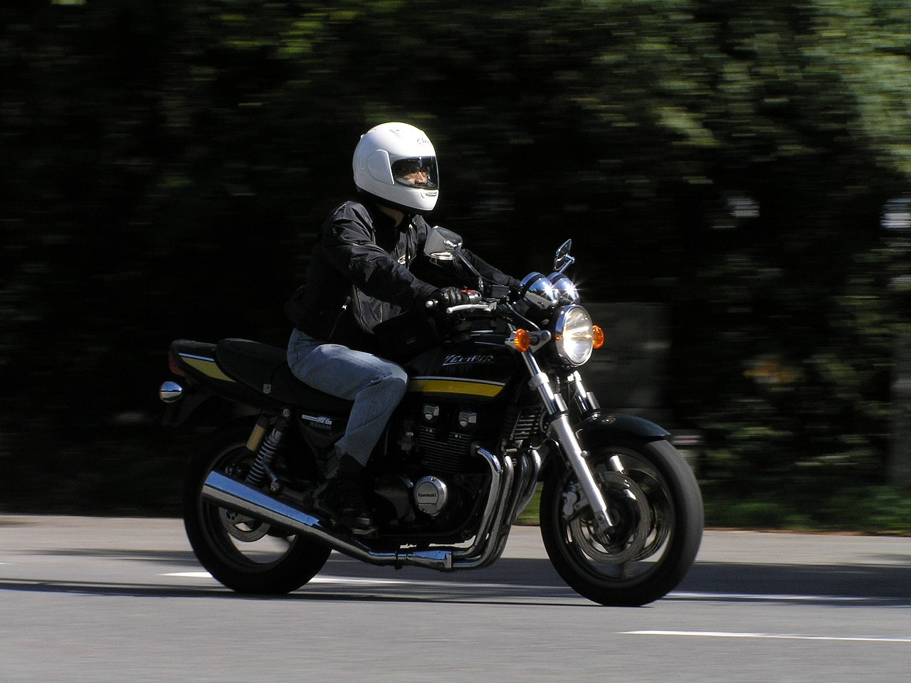
- Winter closure and traffic restrictions: Because of the high elevation, lying snow and icy road surfaces occur, so winter traffic restrictions are usually imposed from around mid-December to around late March. During the restrictions, in the daytime (roughly 7:00-17:00) all vehicles must have winter tires and carry chains; at night (roughly 17:00-7:00) the road is completely closed; and motorcycles are prohibited all day. The start and end dates vary by year.
- Clothing and gear: Because this is a mountain road at around 1,000 m elevation, temperatures are lower than on the plains. Curves are continuous and some sections have poor visibility, so avoid forced overtaking and take frequent breaks.
*For the latest information on traffic restrictions, contact Wakayama Prefecture road information, or the Ito Promotion Bureau Construction Department (0736-33-4934) / Nishimuro Promotion Bureau Construction Department (0739-26-7949). Road conditions can be checked via the live camera near Gomasan Sky Tower.*
📚 Sources
- Wakayama Prefecture road information; traffic restriction information from the Ito Promotion Bureau Construction Department and the Nishimuro Promotion Bureau Construction Department
- Ryujin Tourism Association, "Koya-Ryujin Skyline Traffic Restriction Notice\"
📍 Location & Access


Share this article


✍️ About this article
This article is compiled by the Tabitabi JAPAN editorial team from official and primary sources, including facility and shrine/temple websites, tourism information published by municipalities and tourism associations, and cultural-property records released by national and local governments. Prices, opening hours and event dates may change, so please also check the official information of each facility or local government before you visit.